
Educational quiz app · Ages 5-10
This is what learning looks like


Educational quiz app · Ages 5-10
This is what learning looks like
No nagging required. Keep the learning going after the worksheet, with every question read aloud and Owee guiding each step.
Scan with your phone camera
- Family-friendly
- No ads
- Private
Free geography worksheets for Reception, KS1 and KS2
Geography in the national curriculum is set by key stage, not by year. KS1 (Years 1 and 2) covers the continents and oceans, the four countries of the UK, weather, hot and cold places, and simple maps. KS2 (Years 3 to 6) moves on to Europe and the Americas, rivers, volcanoes, the water cycle, settlements and map skills such as the 8-point compass. In Reception, early geography is part of Understanding the World.
These sheets suit children aged 4 to 10, with the most for KS1. Topics run from weather symbols and the seaside to the layers of the Earth and the countries and capitals of Europe.
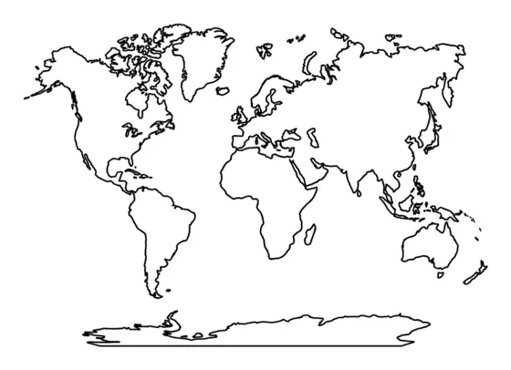
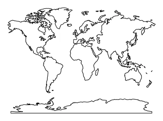
Continents and oceans
Children name and find the world's seven continents and five oceans on a map or globe.
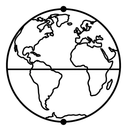
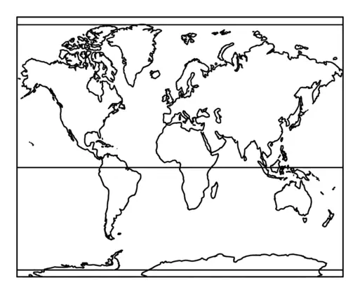
Equator and hemispheres
Children learn about the Equator, the Northern and Southern Hemispheres and other imaginary lines on the globe that help us describe where places are.
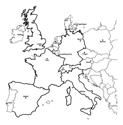
Europe
Children find countries of Europe and their capital cities on a map and learn about their main physical and human features.
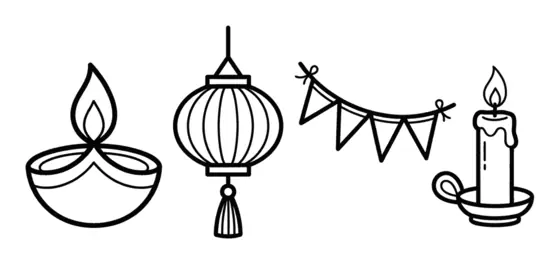
Festivals and celebrations
Children find out how families and communities celebrate special times such as Diwali, Lunar New Year and Christmas, and notice similarities and differences.
Hot and cold places
Children find out why places near the Equator are hot and places near the North and South Poles are cold.
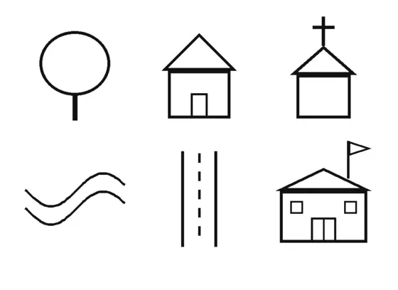
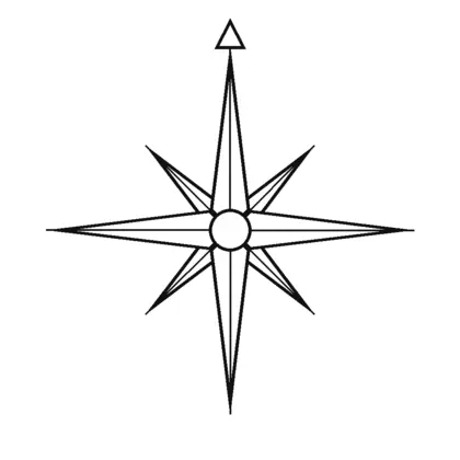
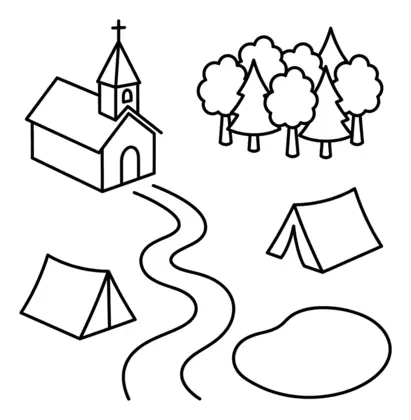
Map skills
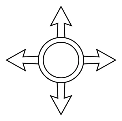
All map skills worksheets →Children use compass directions, map symbols and keys to read and draw maps, moving on to the eight points of the compass, grid references and Ordnance Survey maps.
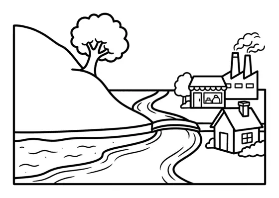
Physical and human features
Children learn the difference between natural features such as hills, rivers and beaches and features built by people such as houses, shops and factories.
Rainforests
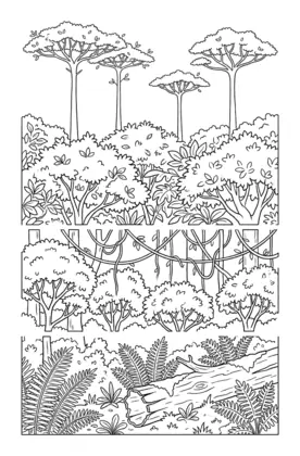
Children learn about rainforests as a biome, including their layers from the forest floor to the emergent trees and the plants and animals found in each.
Rivers
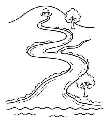
Children follow a river's journey from its source to its mouth and learn words such as tributary and meander.
Seaside and coasts
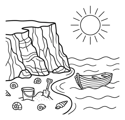
Children learn words for coastal features such as beach, cliff and coast, and compare seaside places.
Settlements
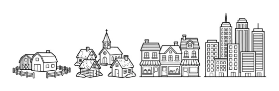
Children compare hamlets, villages, towns and cities and think about why people settle in different places.
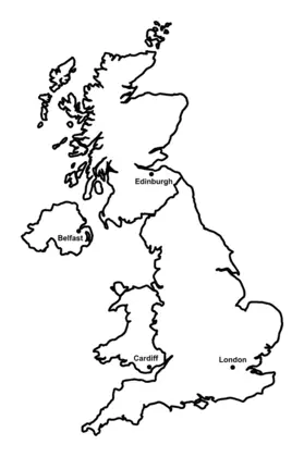
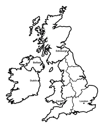
The UK
Children learn the four countries of the United Kingdom and their capital cities, and later its counties, cities and regions.
Transport
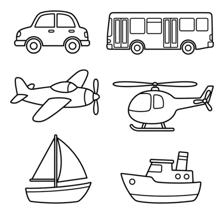
Children sort and talk about ways of travelling on land, in the air and on water.
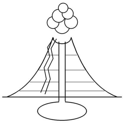
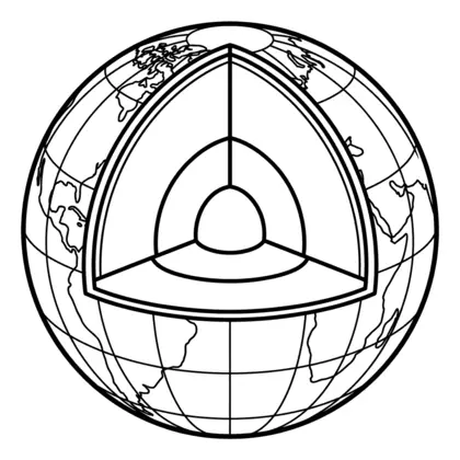
Volcanoes and earthquakes
Children learn what happens inside a volcano, why it erupts and how the Earth's layers fit together.
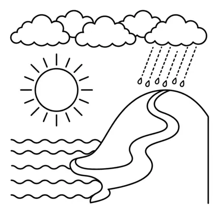
Water cycle
Children learn how water moves around our planet through evaporation, condensation, precipitation and collection.
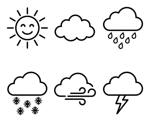
Weather
Children observe daily and seasonal weather in the UK and learn the symbols and words used to describe it.
Which year is each topic taught in?
Because geography is set for a whole key stage, schools decide when to teach each topic. Continents and oceans are often taught in Year 1 or Year 2, the 8-point compass in Year 3 or Year 4, and Europe in Year 4 or later, but your child's school may differ. Each sheet gives a suggested age range, so you can start there and adjust.
Maps at home
Map skills grow from the four compass points and simple keys in KS1 to eight compass points, grid references and Ordnance Survey symbols in KS2. Keep a road atlas or a printed local map handy, and let your child plan a walk or a car trip on it. Finding your own house on a map is a good place to start.
Questions parents ask
Is geography tested in primary school?
No. There are no national geography tests in primary school in England. Teachers track progress through class work, so these sheets are for practice, interest and revision rather than test preparation.
Do the sheets cover Scotland, Wales and Northern Ireland?
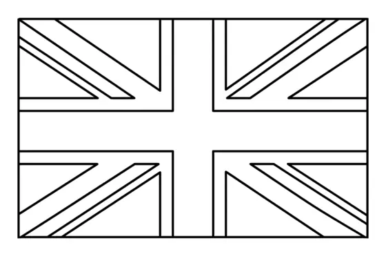
Yes. The UK sheets cover all four countries of the UK and their capitals, and there is a Union flag colouring sheet. The topics follow the National Curriculum in England, but the world and UK geography suits children anywhere in the UK.
Can teachers use these sheets?
Yes. They are free to print for a class, a group or a single child, with no sign-up. They work as lesson starters, homework or a quick check of what children remember.
Educational quiz app · Ages 5-10
More learning in the Owee app
Owee turns topics like this into quizzes for children aged 5 to 10, and a treehouse grows as they learn. No ads, no chat, no strangers.
- Family-friendly
- No ads
- Private
Educational quiz app · Ages 5-10
More learning in the Owee app
Owee turns topics like this into quizzes for children aged 5 to 10, and a treehouse grows as they learn. No ads, no chat, no strangers.
Scan with your phone camera
- Family-friendly
- No ads
- Private