
Educational quiz app · Ages 5-10
This is what learning looks like


Educational quiz app · Ages 5-10
This is what learning looks like
No nagging required. Keep the learning going after the worksheet, with every question read aloud and Owee guiding each step.
Scan with your phone camera
- Family-friendly
- No ads
- Private
Free Year 3 geography worksheets (age 7-8)
KS2 geography covers Years 3 to 6 as one block, so schools choose when each topic comes. Across Key Stage 2, children study rivers, mountains, volcanoes and earthquakes, the water cycle, climate zones and biomes, and types of settlement. They learn about latitude and longitude, the Equator, the hemispheres and the Tropics, and use the 8 points of a compass and grid references.
For children aged 7 to 8, this page brings together sheets often used in lower Key Stage 2: the 8-point compass, the parts of a river, types of settlement, and the Equator and hemispheres. Volcanoes, the layers of the Earth, rainforest layers and the water cycle are here too, as they often appear in Year 3 or Year 4.
In Northern Ireland, Year 3 is called Primary 4, and in Scotland it is roughly Primary 4. Wales uses Year 3.
Also known as: Scotland P4 · Northern Ireland P4 · Wales Year 3
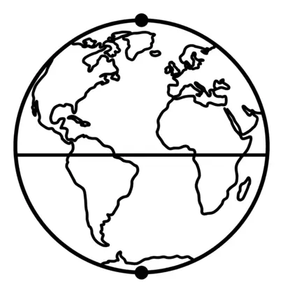
Equator and hemispheres
Children learn about the Equator, the Northern and Southern Hemispheres and other imaginary lines on the globe that help us describe where places are.
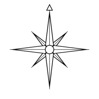
Map skills
All map skills worksheets →Children use compass directions, map symbols and keys to read and draw maps, moving on to the eight points of the compass, grid references and Ordnance Survey maps.
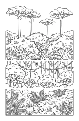
Rainforests
Children learn about rainforests as a biome, including their layers from the forest floor to the emergent trees and the plants and animals found in each.
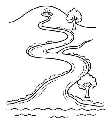
Rivers
Children follow a river's journey from its source to its mouth and learn words such as tributary and meander.
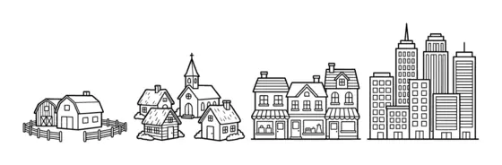
Settlements
Children compare hamlets, villages, towns and cities and think about why people settle in different places.
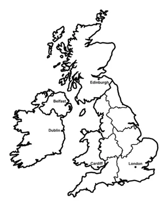
The UK
Children learn the four countries of the United Kingdom and their capital cities, and later its counties, cities and regions.
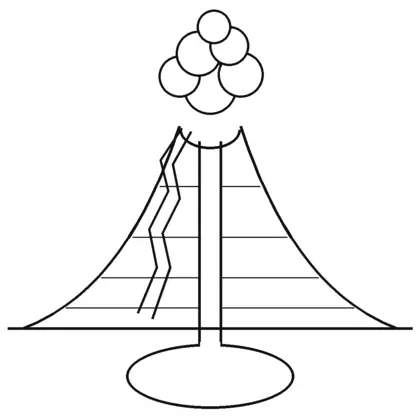
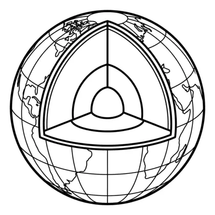
Volcanoes and earthquakes
Children learn what happens inside a volcano, why it erupts and how the Earth's layers fit together.
Water cycle
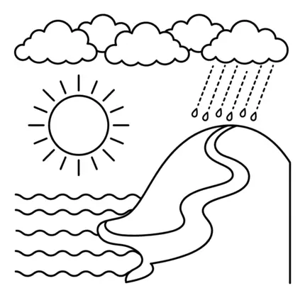
Children learn how water moves around our planet through evaporation, condensation, precipitation and collection.
Getting outdoors
KS2 geography includes fieldwork, so take the sheets outside where you can. Follow a stream on a local map and find where it starts and where it joins a bigger river. Use a phone compass to find all eight points from your front door. Talk about whether you live in a hamlet, village, town or city, and why people might have settled there first.
Questions parents ask
What are the 8 points of a compass?
North, north-east, east, south-east, south, south-west, west and north-west. KS2 children learn all eight, building on the four main points from KS1. The in-between points always start with north or south, which helps children remember them.
Is the water cycle science or geography?
Both. It is part of Year 4 science, under states of matter, and part of KS2 geography. Schools may teach it in either subject, or in both, so it appears on the geography and science pages.
Do these sheets cover the whole geography curriculum?
No, they cover parts of it. The sheets link to KS2 topics such as rivers, settlements, volcanoes and the 8-point compass. They are not a full scheme of work, so use them alongside your child's school topic or a good atlas.
Educational quiz app · Ages 5-10
More learning in the Owee app
Owee turns topics like this into quizzes for children aged 5 to 10, and a treehouse grows as they learn. No ads, no chat, no strangers.
- Family-friendly
- No ads
- Private
Educational quiz app · Ages 5-10
More learning in the Owee app
Owee turns topics like this into quizzes for children aged 5 to 10, and a treehouse grows as they learn. No ads, no chat, no strangers.
Scan with your phone camera
- Family-friendly
- No ads
- Private