
Educational quiz app · Ages 5-10
This is what learning looks like


Educational quiz app · Ages 5-10
This is what learning looks like
No nagging required. Keep the learning going after the worksheet, with every question read aloud and Owee guiding each step.
Scan with your phone camera
- Family-friendly
- No ads
- Private
Free Year 2 geography worksheets (age 6-7)
Year 2 is the second half of Key Stage 1 geography, for children aged 6 to 7. The national curriculum does not split KS1 geography by year, so the order is up to each school. By the end of Year 2, children should be able to name and locate the 7 continents and 5 oceans, and the 4 countries of the UK with their capital cities and surrounding seas.
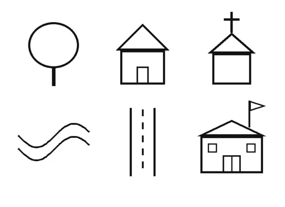
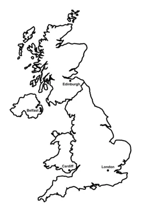
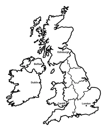
They also locate hot and cold areas of the world in relation to the Equator and the North and South Poles, and use simple compass directions and symbols in a map key. The sheets here cover each of these, including a UK map to colour and label and a sort of physical and human features.
Six- and seven-year-olds in Northern Ireland are in Primary 3, and in Scotland roughly Primary 3. Wales uses the name Year 2.
Also known as: Scotland P3 · Northern Ireland P3 · Wales Year 2
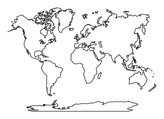
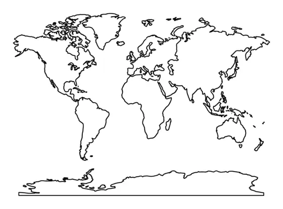
Continents and oceans
Children name and find the world's seven continents and five oceans on a map or globe.
Hot and cold places
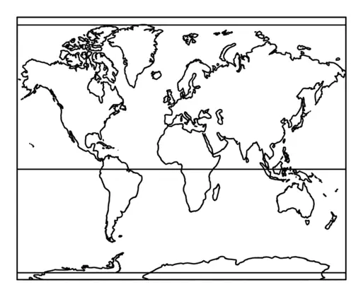
Children find out why places near the Equator are hot and places near the North and South Poles are cold.
Map skills
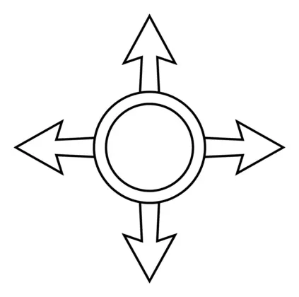
All map skills worksheets →Children use compass directions, map symbols and keys to read and draw maps, moving on to the eight points of the compass, grid references and Ordnance Survey maps.
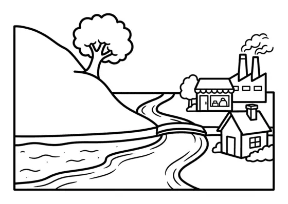
Physical and human features
Children learn the difference between natural features such as hills, rivers and beaches and features built by people such as houses, shops and factories.
The UK
Children learn the four countries of the United Kingdom and their capital cities, and later its counties, cities and regions.
Making maps at home
KS1 children are asked to make simple maps and use symbols in a key. Draw a map of your garden, a park or your route to school together, and invent symbols for a tree, a bench or a shop. Use north, south, east and west when giving directions, and point out the compass on any map you see, from a park leaflet to a walking map.
Questions parents ask
What are the capital cities of the UK?
London is the capital of England, Edinburgh of Scotland, Cardiff of Wales and Belfast of Northern Ireland. KS1 children are expected to name and locate the four countries and these capital cities.
Does Year 2 geography have a test?
No. There is no national geography test at Key Stage 1. Teachers judge progress through classwork, so these sheets are simply for practice, revision and interest.
Can I print these for a home-education group?
Yes. The sheets are free to print and share with a group, a class or your own family. Nobody has to sign up or hand over an email address to use them.
Educational quiz app · Ages 5-10
More learning in the Owee app
Owee turns topics like this into quizzes for children aged 5 to 10, and a treehouse grows as they learn. No ads, no chat, no strangers.
- Family-friendly
- No ads
- Private
Educational quiz app · Ages 5-10
More learning in the Owee app
Owee turns topics like this into quizzes for children aged 5 to 10, and a treehouse grows as they learn. No ads, no chat, no strangers.
Scan with your phone camera
- Family-friendly
- No ads
- Private