Educational quiz app · Ages 5-10
This is what learning looks like


Educational quiz app · Ages 5-10
This is what learning looks like
No nagging required. Keep the learning going after the worksheet, with every question read aloud and Owee guiding each step.
Scan with your phone camera
- Family-friendly
- No ads
- Private
Free Year 4 geography worksheets (age 8-9)
For children aged 8 to 9, Year 4 geography sits inside the KS2 programme, which runs from Year 3 to Year 6 with no fixed order. Across those years, children locate the countries of Europe and the Americas, study volcanoes and earthquakes, rivers, biomes and the water cycle, and use symbols and keys on Ordnance Survey maps.
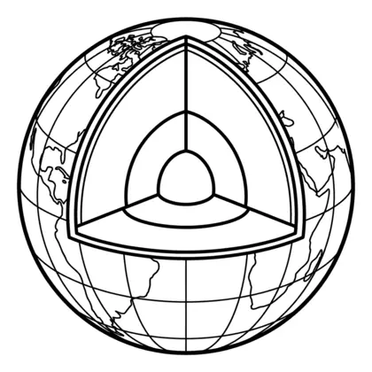
The sheets here are ones often used in Year 4: countries and capitals of Europe, inside a volcano, the layers of the Earth, rainforest layers, and reading symbols on a countryside map. Sheets on rivers, settlements, the 8-point compass and the hemispheres suit Year 3 or Year 4.
In Northern Ireland, Year 4 is Primary 5, and in Scotland it is roughly Primary 5. In Wales it is still Year 4.
Also known as: Scotland P5 · Northern Ireland P5 · Wales Year 4
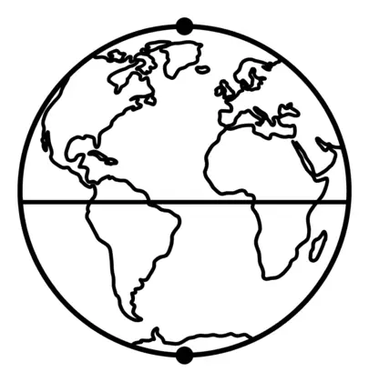
Equator and hemispheres
Children learn about the Equator, the Northern and Southern Hemispheres and other imaginary lines on the globe that help us describe where places are.
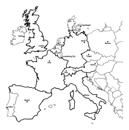
Europe
Children find countries of Europe and their capital cities on a map and learn about their main physical and human features.
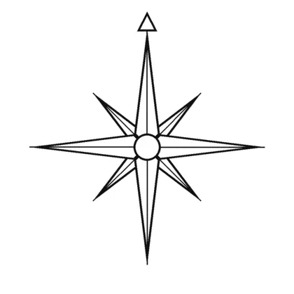
Map skills
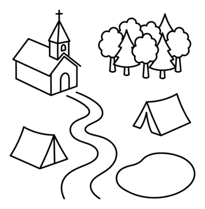
All map skills worksheets →Children use compass directions, map symbols and keys to read and draw maps, moving on to the eight points of the compass, grid references and Ordnance Survey maps.
Rainforests
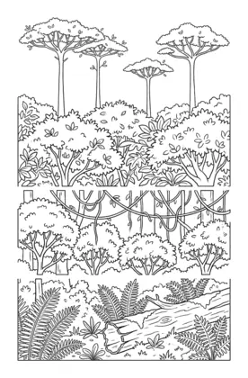
Children learn about rainforests as a biome, including their layers from the forest floor to the emergent trees and the plants and animals found in each.
Rivers
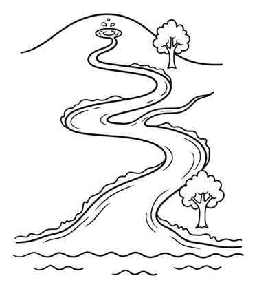
Children follow a river's journey from its source to its mouth and learn words such as tributary and meander.
Settlements
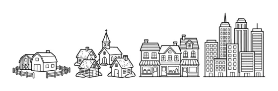
Children compare hamlets, villages, towns and cities and think about why people settle in different places.
Volcanoes and earthquakes
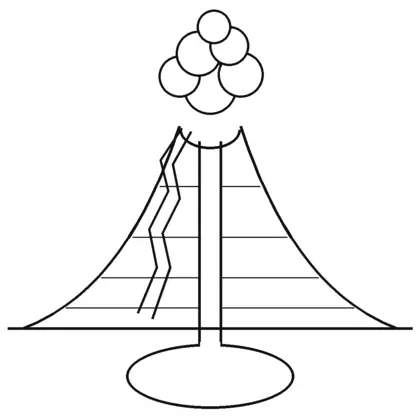
Children learn what happens inside a volcano, why it erupts and how the Earth's layers fit together.
Water cycle
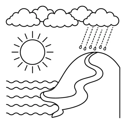
Children learn how water moves around our planet through evaporation, condensation, precipitation and collection.
Learning the countries of Europe
The KS2 curriculum asks children to locate the world's countries, with a focus on Europe, including Russia, and North and South America. Start with countries your family has visited or follows in sport, then fill in their neighbours. A jigsaw map or a sticky-note quiz on the fridge helps names and capitals stick, and a short daily look beats a long weekly session.
Questions parents ask
What happens inside a volcano?
Deep underground, rock is hot enough to melt into magma, which collects in a magma chamber. When pressure builds, magma rises up the main vent and erupts from the crater as lava, ash and gas. The volcano sheet labels these parts.
Do I need an atlas?
It helps but is not essential. The sheets give the key information on the page. An atlas, a globe or an online map lets your child see where places sit in the world, which makes the names easier to remember.
Are these Year 4 geography sheets free?
Yes. They are free to print and share with no sign-up. You do not need to give an email address or create an account first.
Educational quiz app · Ages 5-10
More learning in the Owee app
Owee turns topics like this into quizzes for children aged 5 to 10, and a treehouse grows as they learn. No ads, no chat, no strangers.
- Family-friendly
- No ads
- Private
Educational quiz app · Ages 5-10
More learning in the Owee app
Owee turns topics like this into quizzes for children aged 5 to 10, and a treehouse grows as they learn. No ads, no chat, no strangers.
Scan with your phone camera
- Family-friendly
- No ads
- Private