Educational quiz app · Ages 5-10
This is what learning looks like


Educational quiz app · Ages 5-10
This is what learning looks like
No nagging required. Keep the learning going after the worksheet, with every question read aloud and Owee guiding each step.
Scan with your phone camera
- Family-friendly
- No ads
- Private
Geography · Colouring and labelling worksheet
Layers of the Earth Worksheet (Free KS2 Geography Printable)
This free printable helps children in Years 3 and 4 understand that the Earth is not solid rock all the way through, but is made of layers. The worksheet uses one cut-away globe so children can see how the crust, mantle, outer core and inner core sit one inside the other.
Children label the four layers using a word bank, answer three short questions about them, then colour each layer. The sheet prints on one A4 page and needs only a pencil and coloured pencils.
What your child is learning
‘physical geography, including: climate zones, biomes and vegetation belts, rivers, mountains, volcanoes and earthquakes, and the water cycle’
Key stage 2 Geography: Human and physical geography, National Curriculum in England. Source and licence

Layers of the Earth
Free Geography worksheet · Ages 7 to 9
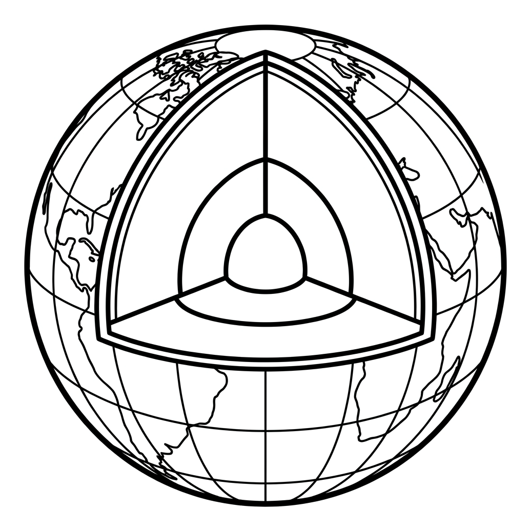
Label the layers
Write the name of each numbered layer. Use the word bank. Clue: the crust is the thin band around the edge. The inner core is the small ball in the middle.
- 1
- 2
- 3
- 4
Earth facts
Answer each question with the name of a layer.
Which layer is the thickest?
Which layer is made of liquid metal?
Which layer is the hottest?
Colour the layers
Colour the crust brown, the mantle orange, the outer core yellow and the inner core red.
 Layers of the EarthSheet 165
Answers: Layers of the Earth
Sheet 165
- 1. mantle
- 2. inner core
- 3. crust
- 4. outer core
- Which layer is the thickest? — mantle
- Which layer is made of liquid metal? — outer core
- Which layer is the hottest? — inner core
For grown-ups. Free worksheets and the Owee quiz app at owee.world
Answer key
- 1. mantle
- 2. inner core
- 3. crust
- 4. outer core
- Which layer is the thickest? — mantle
- Which layer is made of liquid metal? — outer core
- Which layer is the hottest? — inner core
What are the four layers of the Earth?
The Earth is made up of four main layers. The crust is the thin, rocky outer shell we live on, and it is by far the thinnest layer. Beneath it lies the mantle, a very thick layer of hot rock that makes up most of the Earth. Deeper still is the outer core, a layer of liquid metal (mostly iron and nickel), and right at the centre is the solid metal inner core. It gets hotter the deeper you go: the inner core is thought to be roughly as hot as the surface of the Sun. Helping children picture the layers in order, from the thin, cool crust to the hot centre, gives them a model they can return to when learning about volcanoes, earthquakes and rocks.
Why the Earth's structure matters in KS2 geography
The National Curriculum asks KS2 pupils to describe and understand key aspects of physical geography, including volcanoes and earthquakes. Knowing the Earth's layers gives these topics meaning: volcanoes form where melted rock from deep below rises up through the crust, and earthquakes happen when huge pieces of the crust and upper mantle, called tectonic plates, move and jolt against each other. Learning the structure first gives children the background they need before exploring how and why these events happen. The sheet works as a starting point or a revision aid for a unit on volcanoes and earthquakes, or alongside the Year 3 science topic on rocks.
How to use this worksheet
Start by looking at the cut-away globe together. Explain that a slice has been taken out so we can see inside, a bit like cutting a wedge out of a boiled egg: a thin shell, a thick middle and a centre. Children then use the word bank to label the four numbered layers. The clues are in the picture: the crust is the very thin band around the edge, and the inner core is the small ball in the middle. Next they answer the three questions and colour each layer. Ask them to say the layers aloud from the outside in, crust, mantle, outer core, inner core, to help the new words stick.
Extending the learning at home or in class
A common misunderstanding is that the mantle is a sea of runny lava. In fact it is almost all solid rock, but it is so hot that it can creep and flow very slowly over millions of years, a little like very stiff toffee. Once the sheet is complete, children could compare the Earth with other things that have layers, such as a peach with its skin, flesh and stone. More confident pupils might find out why the inner core is solid even though it is hotter than the liquid outer core (the answer is the huge pressure at the centre). A follow-up lesson on volcanoes or earthquakes then builds directly on what they have learned.
Frequently asked questions
What are the four layers of the Earth in order?
From the outside inwards, the four main layers are the crust, the mantle, the outer core and the inner core. The crust is the thinnest layer and the inner core sits right at the centre of the planet.
Which layer of the Earth is the thickest?
The mantle is the thickest layer and makes up most of the Earth. It is made of hot rock that is mostly solid but moves very slowly over long periods of time.
Is this worksheet free to print?
Yes. The worksheet is free to download and print. It is designed to fit on a single A4 page, so you can print it at home or in school and use it with just a pencil and coloured pencils.
What age and year group is this worksheet for?
It is aimed at children aged 7 to 9, which covers Years 3 and 4 in KS2. It also makes a gentle introduction for slightly younger children or a quick revision sheet for older pupils.
How does learning the Earth's layers link to the curriculum?
Understanding the Earth's structure supports the KS2 geography objective to describe and understand volcanoes and earthquakes, since both are caused by activity within the crust and mantle. It also connects to the Year 3 science topic on rocks.
Curriculum links
- Key stage 2 Geography: Human and physical geography (statutory): 'physical geography, including: climate zones, biomes and vegetation belts, rivers, mountains, volcanoes and earthquakes, and the water cycle'
Quoted word for word from Department for Education documents: the National Curriculum in England, the EYFS framework or the RSHE guidance. Contains public sector information licensed under the Open Government Licence v3.0.
Made by The Owee education team. Updated 13/10/2026. Free to print and share.
More geography worksheets
All Year 4 Geography worksheets →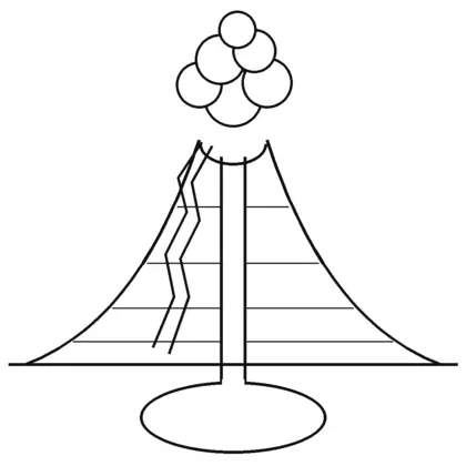
Years 3–4 · Volcanoes and earthquakesSheet 164
Inside a Volcano
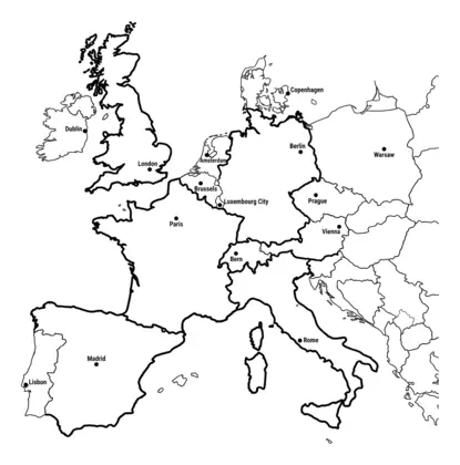
Years 4–5 · EuropeSheet 161
Countries and Capitals of Europe
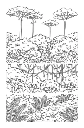
Years 3–4 · RainforestsSheet 163
Layers of the Rainforest
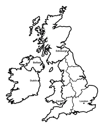
Years 2–3 · The UKSheet 93
Map of the United Kingdom
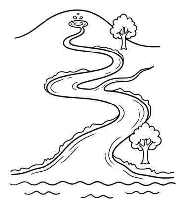
Years 3–4 · RiversSheet 125
Parts of a River
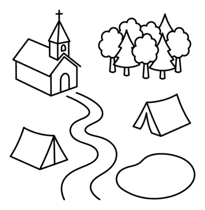
Years 4–5 · Map skillsSheet 162
Reading a Map: Symbols and a Key
Educational quiz app · Ages 5-10
More learning in the Owee app
Owee turns topics like this into quizzes for children aged 5 to 10, and a treehouse grows as they learn. No ads, no chat, no strangers.
- Family-friendly
- No ads
- Private
Educational quiz app · Ages 5-10
More learning in the Owee app
Owee turns topics like this into quizzes for children aged 5 to 10, and a treehouse grows as they learn. No ads, no chat, no strangers.
Scan with your phone camera
- Family-friendly
- No ads
- Private