Geography · Colouring and labelling worksheet
The 8-Point Compass: Free KS2 Geography Worksheet
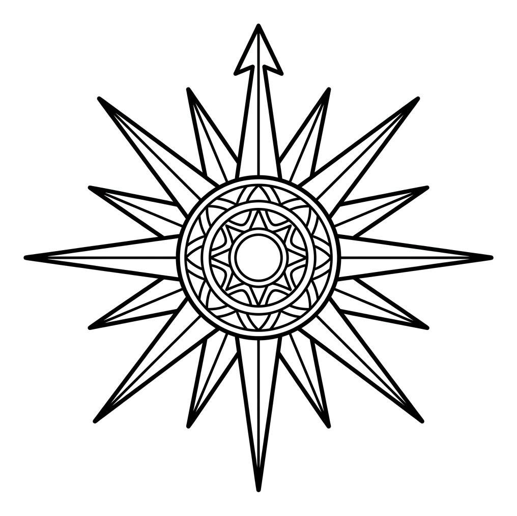
The eight points of a compass are a core mapping skill in Key Stage 2 geography, and this free printable gives children a friendly, hands-on way to learn them. Your child colours a single compass rose, then practises naming each direction — north, north-east, east, south-east, south, south-west, west and north-west — using a handy word bank.
Designed for ages 7 to 9 (Years 3 and 4), the sheet prints onto one sheet of A4 and needs nothing more than colouring pencils and a pen. It works equally well as a quiet classroom starter, a homework task, or a calm activity at the kitchen table.

The 8-Point Compass
Free Geography worksheet · Ages 7 to 9
Activity 1
Colour the compass rose. Use one bold colour for the longest arm, which points to North. Then colour the other arms, using two colours that take turns around the rose so the pattern is even.
- Colour the longest arm (pointing up) in your favourite bold colour – this is North.
- Colour the arms either side of North using two colours that take turns all the way around.
- Colour the decorative circle in the middle of the compass.
Activity 2
Use the word bank to answer each question. Write the full direction name on the line. You can point to the matching arm on your coloured compass to help you.
Which direction does the longest arm on the compass point to?
Which direction is directly opposite North?
The sun rises in this direction in the morning. Which is it?
Which direction sits exactly between North and East?
Which direction sits exactly between South and West?
What is the short way of writing North-West using two letters?
Answer key
- Which direction does the longest arm on the compass point to? — North
- Which direction is directly opposite North? — South
- The sun rises in this direction in the morning. Which is it? — East
- Which direction sits exactly between North and East? — North-East
- Which direction sits exactly between South and West? — South-West
- What is the short way of writing North-West using two letters? — NW
Why the eight-point compass matters in KS2
By the time children reach Years 3 and 4, the National Curriculum expects them to move beyond the four basic directions and use the full eight points of a compass to describe routes and locations. The four ordinal points — north-east, south-east, south-west and north-west — sit halfway between the cardinal points and let children describe direction far more precisely. This precision underpins later work with grid references, map symbols and fieldwork, so a confident grasp of all eight points is a genuinely useful foundation rather than a one-off exercise.
How to use this worksheet at home or in class
Start by colouring the compass rose together. A common and memorable approach is to give the north-pointing arm a single bold colour so it stands out, then alternate two colours around the remaining arms to make the symmetry clear. While colouring, say each direction aloud in order, moving clockwise from north. Once the picture is finished, work through the direction questions using the word bank. Encourage children to point to the matching arm on their coloured rose as they answer, linking the word, the position and the abbreviation in one go.
Helpful ways to remember the order
A traditional mnemonic for reading clockwise from the top is “Naughty Elephants Squirt Water” — North, East, South, West. The four in-between points are simply the two neighbours joined together, with north or south always said first: north-east, south-east, south-west, north-west. Reminding children that the abbreviations follow the same rule (NE, SE, SW, NW) helps them write the short forms correctly. Linking compass directions to something familiar, such as which way the sun rises (east) and sets (west), gives the abstract idea a concrete anchor.
Extending the activity
Once your child is secure with naming the points, turn the skill into a practical game. Place objects around a room and give directional instructions (“take three steps north-west”), or use a real compass in the garden to find which way the front door faces. On a UK map, ask children to describe the direction of one city from another, for example that Edinburgh is roughly north of London. These small, repeated uses help the eight points become second nature and prepare children for grid references and route planning later in KS2.
Frequently asked questions
What are the eight points of a compass?
The eight points are north, north-east, east, south-east, south, south-west, west and north-west. Reading clockwise from the top they are abbreviated as N, NE, E, SE, S, SW, W and NW. The four “in-between” points (the ordinal points) sit halfway between the cardinal points of north, east, south and west.
What age or year group is this compass worksheet for?
It is aimed at children aged 7 to 9, which covers Years 3 and 4 (Key Stage 2). This is the stage at which the National Curriculum introduces the eight points of a compass. Younger children working only with the four main directions, or older children needing revision, can also use it.
Is this compass worksheet free to print?
Yes. The worksheet is completely free to download and print. It is designed to fit on a single sheet of A4, so it works well for homework, classroom starters or a home learning activity with nothing more than colouring pencils and a pen.
How can I help my child remember the compass directions?
A popular mnemonic for the four main points read clockwise is “Naughty Elephants Squirt Water” for North, East, South, West. The in-between points simply join the two neighbours, always saying north or south first – for example north-east and south-west. Pointing to each arm on the coloured compass while saying it aloud reinforces the order.
What is the difference between cardinal and ordinal compass points?
The four cardinal points are north, east, south and west. The four ordinal (or intercardinal) points – north-east, south-east, south-west and north-west – lie exactly between them. Together they make up the eight points of a compass that KS2 children are expected to use.
Curriculum links
- KS2 Geography – Geographical skills and fieldwork: use the eight points of a compass, four and six-figure grid references, symbols and key (including the use of Ordnance Survey maps) to build their knowledge of the United Kingdom and the wider world.
- KS2 Geography – Geographical skills and fieldwork: use maps, atlases, globes and digital/computer mapping to locate countries and describe features studied.
- KS2 Geography – Locational knowledge: name and locate counties and cities of the United Kingdom, identifying their geographical regions and human and physical characteristics.
- KS1 Geography (prior learning) – use simple compass directions (North, South, East and West) to describe the location of features and routes on a map.
Made by The Owee education team. Updated 02/06/2026. Free to print and share.
More learning, made playful
Owee turns topics like this into age-right quizzes for children aged 5 to 10, with a treehouse that grows as they learn. Three subjects are free, forever.
Get Owee free