Geography · Colouring and labelling worksheet
The 7 Continents Map: Free KS1 Geography Worksheet
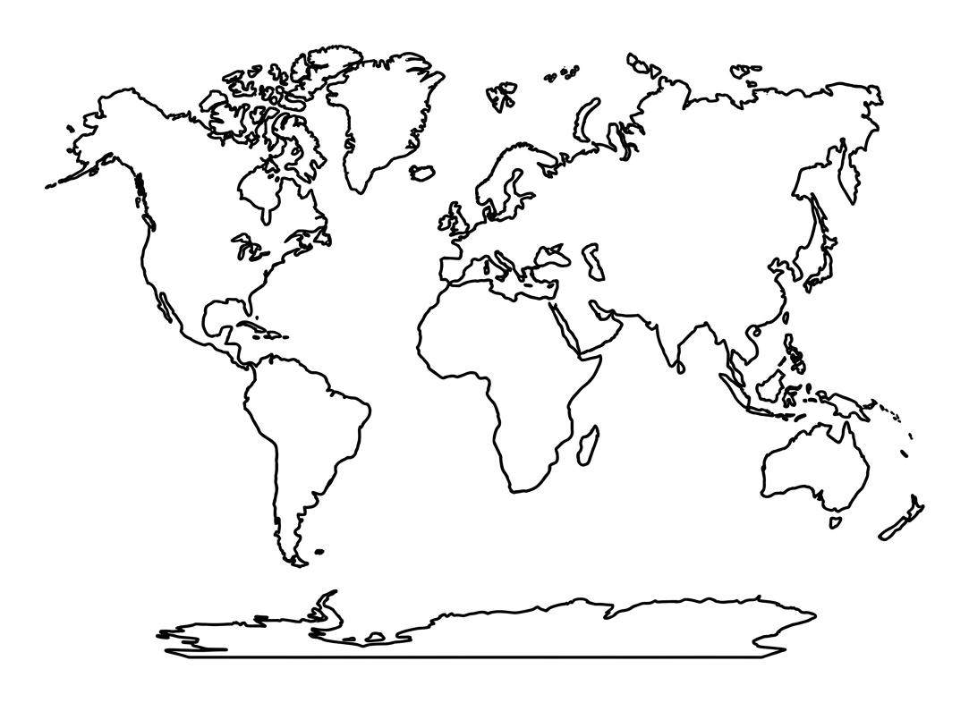
This free printable introduces children aged 5 to 7 to the seven continents through colouring and naming. It sits squarely within the KS1 Geography locational knowledge objective and works as a gentle first encounter with a world map, where the child colours each landmass a different colour and then matches it to its name using the word bank.
Designed to print cleanly onto one A4 page, it suits a Year 1 or Year 2 classroom activity or a quiet afternoon at home. The large, well-spaced outlines mean little hands can colour each continent without crossing into the next, building both geographical vocabulary and fine-motor control at the same time.

The 7 Continents Map
Free Geography worksheet · Ages 5 to 7
Activity 1
Colour each of the seven continents a different colour. Try to colour right up to the black lines without going over. You can leave the ocean white or colour it blue.
- Colour each continent (the land) a different colour.
- Colour all of the ocean (the space around the land) blue.
Activity 2
Use the word bank to write the name of each continent. Choose a colour for each one as you go, and say the name out loud.
Which continent is the coldest and covered in ice?
Which continent do we live on here in the UK?
Which continent is the largest of them all?
Write the names of the two continents in the Americas.
Answer key
- Which continent is the coldest and covered in ice? — Antarctica
- Which continent do we live on here in the UK? — Europe
- Which continent is the largest of them all? — Asia
- Write the names of the two continents in the Americas. — North America and South America
What your child will learn
By the end of this worksheet, a child should be able to recognise that the world is divided into seven large landmasses called continents, and begin to name them: Africa, Antarctica, Asia, Australia (Oceania), Europe, North America and South America. Colouring each continent a distinct colour helps children see them as separate places surrounded by ocean, which is a key first step in building a mental map of the world. Naming continents with the support of a word bank reinforces new geographical vocabulary while keeping the cognitive load manageable for five to seven year olds.
How to use this worksheet
Begin by talking through the map together, pointing out that the white spaces around the landmasses are the oceans. Encourage your child to choose a different colour for each continent and to colour right up to the outline without overlapping. Once the map is coloured, read the word bank aloud and help your child copy each continent name onto the matching line. There is no need to insist on perfect spelling at this age; the aim is recognition and confident naming. For an extra challenge, ask which continent we live on (Europe, for the UK) and which one is the coldest (Antarctica).
Linking to the wider KS1 curriculum
The seven continents pair naturally with the five oceans in the KS1 locational knowledge objective, so this sheet works well alongside a simple oceans activity. It also supports early map skills such as understanding that a map is a flat picture of real places seen from above, and it lays the groundwork for later comparisons between a hot place and a cold place studied in Year 1 and Year 2. Teachers often display completed maps on a 'Our World' wall to revisit continent names throughout the term.
Tips for parents and teachers
Repetition is the friend of recall at this age, so revisit the continent names over several short sessions rather than one long one. A globe or inflatable world ball is a lovely companion to this flat map, helping children understand that the Earth is round even though our map is flat. You might also link each continent to a familiar animal (a kangaroo for Australia, a penguin for Antarctica, an elephant for Africa) to make the names more memorable. Keep the focus playful and praise effort over accuracy.
Frequently asked questions
What are the seven continents for KS1?
The seven continents children learn about at KS1 are Africa, Antarctica, Asia, Australia (also called Oceania), Europe, North America and South America. This worksheet helps children colour and name all seven on a simple world map.
Is this seven continents worksheet free to print?
Yes. This worksheet is completely free to download and print. It is designed to fit neatly onto a single A4 page in black and white, so it is economical for both classrooms and home use.
What age is this continents worksheet for?
It is aimed at children aged 5 to 7, which covers Years 1 and 2 in the KS1 curriculum. The large outlines and supportive word bank make it accessible for early writers and confident colourers alike.
How do I teach my child the seven continents?
Start by colouring each continent a different colour so they stand out, then name them together using the word bank. Repeating the names over several short sessions, linking each continent to a familiar animal, and using a globe alongside the flat map all help children remember them.
Which continent do we live on in the UK?
The United Kingdom is part of Europe. Pointing this out on the map gives children a personal anchor, helping them locate their own country in the wider world before learning the other six continents.
Curriculum links
- KS1 Geography, Locational knowledge: name and locate the world's seven continents and five oceans.
- KS1 Geography, Geographical skills and fieldwork: use world maps, atlases and globes to identify the United Kingdom and its countries, as well as the countries, continents and oceans studied.
- KS1 Geography, Geographical skills and fieldwork: use basic geographical vocabulary to refer to key physical and human features.
Made by The Owee education team. Updated 02/06/2026. Free to print and share.
More learning, made playful
Owee turns topics like this into age-right quizzes for children aged 5 to 10, with a treehouse that grows as they learn. Three subjects are free, forever.
Get Owee free