Educational quiz app · Ages 5-10
This is what learning looks like


Educational quiz app · Ages 5-10
This is what learning looks like
No nagging required. Keep the learning going after the worksheet, with every question read aloud and Owee guiding each step.
Scan with your phone camera
- Family-friendly
- No ads
- Private
Geography · Colouring and labelling worksheet
Compass Directions Worksheet: North, East, South, West (Free KS1)
This free printable worksheet introduces Year 1 and Year 2 children to the four main compass directions: north, east, south and west. Children write the direction next to each numbered arrow on a simple compass rose, then colour each arrow by its direction name. That second step checks they can find east or west without counting round from the top.
It is designed for one A4 page and needs only a pencil and four colouring pencils (red, blue, green and yellow). It works as a short task at home or a starter in class.
What your child is learning
‘use simple compass directions (north, south, east and west) and locational and directional language [for example, near and far, left and right], to describe the location of features and routes on a map’
Key stage 1 Geography: Geographical skills and fieldwork, National Curriculum in England. Source and licence

Compass Directions: North, East, South, West
Free Geography worksheet · Ages 6 to 7
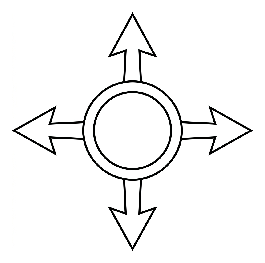
Label the compass
North is at the top. Write the direction for each number. Use the word bank.
- 1
- 2
- 3
- 4
Colour the compass
Now colour each arrow. Look at your labels to find the right one.
- Colour the north arrow red.
- Colour the east arrow blue.
- Colour the south arrow green.
- Colour the west arrow yellow.
 Compass Directions: North, East, South, WestSheet 89
Answers: Compass Directions: North, East, South, West
Sheet 89
- 1. North
- 2. South
- 3. East
- 4. West
For grown-ups. Free worksheets and the Owee quiz app at owee.world
Answer key
- 1. North
- 2. South
- 3. East
- 4. West
What your child learns from this worksheet
This worksheet focuses on the four cardinal directions used across Key Stage 1 geography: north, east, south and west. By labelling each arrow and then colouring by direction name, children connect each word to its place on a compass rose. The usual mix-up at this age is east and west, so the colouring task asks for those by name rather than by position. This is the first step towards describing where things are and following a simple route on a map. The sheet sticks to the four main points; the in-between directions, such as north-east, come in Key Stage 2.
How to use it at home or in class
Begin by looking at the compass rose together. Explain that on most maps north is at the top, so east is on the right, south is at the bottom and west is on the left. A well-known memory phrase is Never Eat Shredded Wheat, read clockwise from the top: North, East, South, West. If your child mixes up east and west, point out that W and E spell "WE" when you read across from left to right. Once the sheet is finished, pin it up and play quick games such as 'point to north' or 'which way is east?'
Why compass directions matter early on
Compass directions give children a shared, exact way to describe position and movement, instead of 'over there' or 'that way'. A common misconception is that north means 'up' towards the sky. North is a direction along the ground; it is only drawn at the top of a map. The Key Stage 1 curriculum asks children to use the four directions to describe where features are and how to get from one place to another on a map. That groundwork leads to the eight-point compass, grid references and Ordnance Survey maps in Key Stage 2.
Extending the activity
To stretch confident children, link the compass to the real world. Point out that the sun rises roughly in the east and sets roughly in the west, which helps fix those two directions. Use a real compass or a phone compass app to find which way north is from your home, then turn the finished sheet so its north arrow points the same way. Ask your child to describe a short route, for example 'walk north to the door, then go east to the gate'. This moves them from naming directions to using them.
Frequently asked questions
What are the four main compass directions?
The four main, or cardinal, compass directions are north, east, south and west. On most maps and compass roses north is at the top, east is on the right, south is at the bottom and west is on the left.
What age is this compass worksheet for?
It is designed for children aged 6 to 7 (Years 1 and 2), in line with the Key Stage 1 geography expectation that children use simple compass directions to describe locations and routes on a map.
How can I help my child remember north, east, south and west?
A popular British memory aid is 'Never Eat Shredded Wheat', read clockwise from the top of the compass: North, East, South, West. Saying it while pointing to each direction helps it stick.
Is this compass directions worksheet free to print?
Yes. It is free to print and is designed to fit on one A4 page. You can print as many copies as you need for home or the classroom.
What comes after the four cardinal directions?
In Key Stage 2, children move on to the eight-point compass, adding the in-between directions (north-east, south-east, south-west and north-west), and begin using compass directions alongside grid references on maps.
Curriculum links
- Key stage 1 Geography: Geographical skills and fieldwork (statutory): 'use simple compass directions (north, south, east and west) and locational and directional language [for example, near and far, left and right], to describe the location of features and routes on a map'
- KS1 Geography, Geographical skills and fieldwork: 'use world maps, atlases and globes to identify the United Kingdom and its countries, as well as the countries, continents and oceans studied at this key stage'
- KS1 Geography, Geographical skills and fieldwork: 'use aerial photographs and plan perspectives to recognise landmarks and basic human and physical features'
Quoted word for word from Department for Education documents: the National Curriculum in England, the EYFS framework or the RSHE guidance. Contains public sector information licensed under the Open Government Licence v3.0.
Made by The Owee education team. Updated 13/10/2026. Free to print and share.
More geography worksheets
All Year 2 Geography worksheets →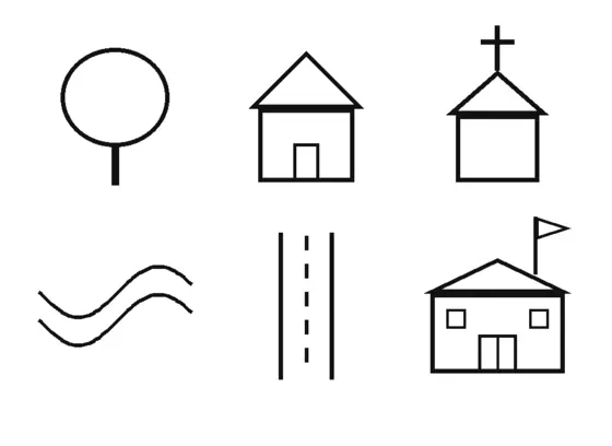
Years 1–2 · Map skillsSheet 90
Map Symbols and a Key
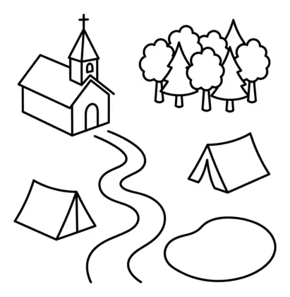
Years 4–5 · Map skillsSheet 162
Reading a Map: Symbols and a Key
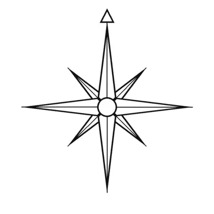
Years 3–4 · Map skillsSheet 124
The 8-Point Compass
Reception–Year 1 · Seaside and coastsSheet 43
At the Seaside: Land and Sea
Reception–Year 1 · The UKSheet 44
Colour the Union Flag
Years 1–2 · The UKSheet 92
Countries and Capitals of the UK
Educational quiz app · Ages 5-10
More learning in the Owee app
Owee turns topics like this into quizzes for children aged 5 to 10, and a treehouse grows as they learn. No ads, no chat, no strangers.
- Family-friendly
- No ads
- Private
Educational quiz app · Ages 5-10
More learning in the Owee app
Owee turns topics like this into quizzes for children aged 5 to 10, and a treehouse grows as they learn. No ads, no chat, no strangers.
Scan with your phone camera
- Family-friendly
- No ads
- Private